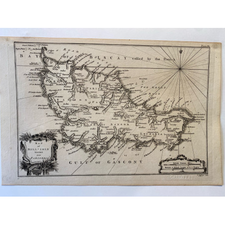

Carte de Bretagne, 1761
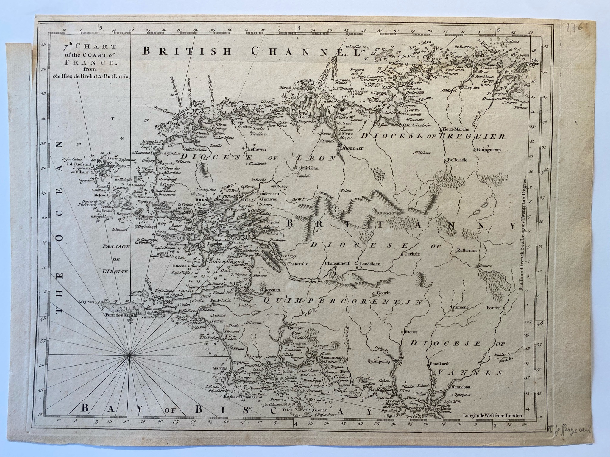
7 th chart of the coast of France,
from Bréhat to Port Louis, T.Jefferys, 1761
Carte issue de l' atlas de Jefferys
Dim de la feuille 34,5 X 25 cm
Belle épreuve.

Paiement sécurisé

Livraison dans le monde entier

Retour sous 14 jours (à votre charge)